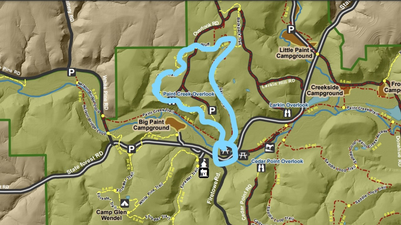
NEW HIGHLIGHTED TRAIL (Bluff View Trail to Larkin Valley Trail, 3.11 Mile Loop, starting at the picnic area across from the sawmill, takes about 1 1/2 hours)
Time for the leaf-looking trail at Yellow River! All of the trails will be beautifully decorated this fall we’re sure—but we chose a trail for you to check out the fall foliage, get some views of the creek and get a few hills in to make you feel good. This trail has bluffs to go up, bluffs to go down, valleys, and even a meadow!
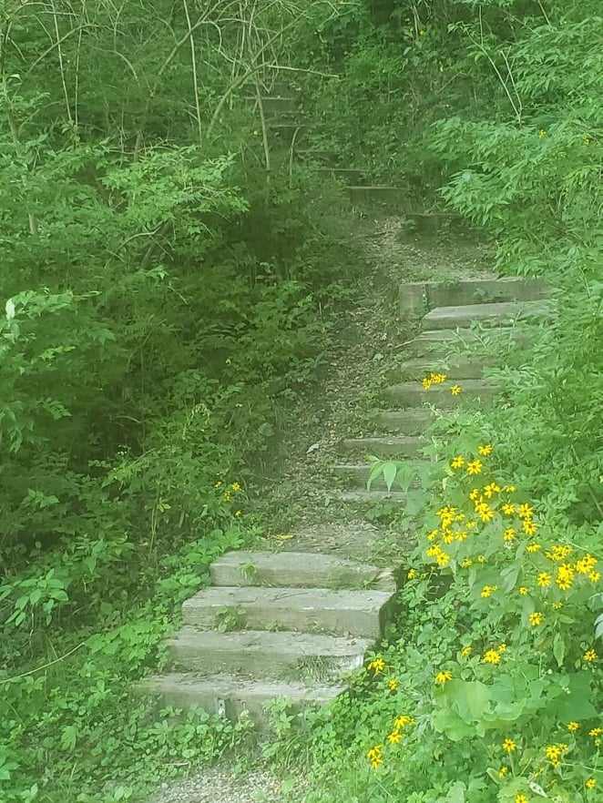
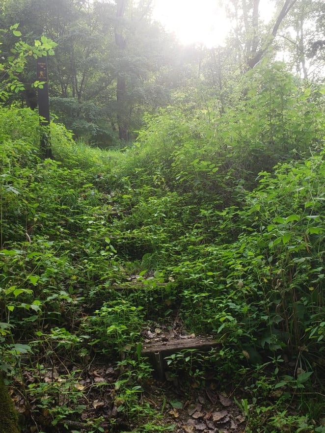
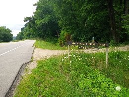
The first trail is called 'Bluff Trail' which you will take to 'Larkin Valley'. It begins right before the bridge by the sawmill if you’re heading toward Highway 76. There’s a little parking area to the right. Be sure to get your bug spray on because there may be some mosquitos! Look for a little path through the brush by the restroom heading away from the creek. Turn left on this trail, follow it for a short bit, and there will be some steps going up to your right and a sign for 'Bluff Trail'. You’ll want to watch for this as it might be easy to miss.
The first part of this hike is the hardest, as it usually seems to be. Also, you have to be careful as you are going up the bluff. It’s a little steep and there are a few rocks. And of course some fallen leaves, making it difficult to see the rocks. The trail will wind around to the left and you’ll finish with another rather steep incline and then you’ll be at the top. There is a bench at the top if you need to take a break! Shortly after the bench, there will be a trail off to the right that just goes to the road; you will pass this trail to continue straight along the side of the bluff.
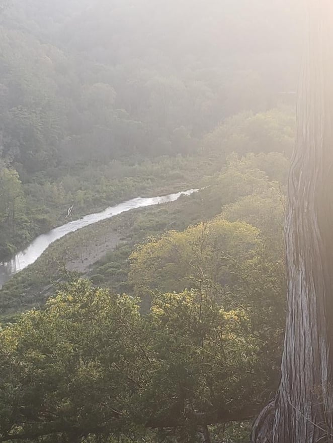
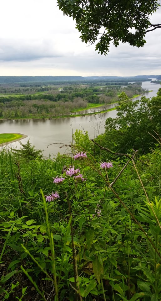
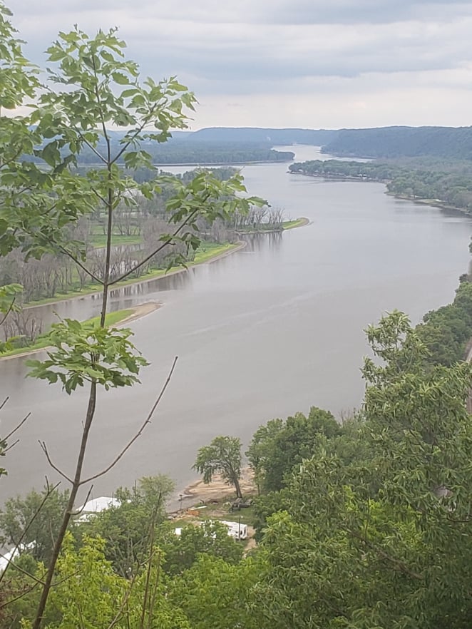
This is the part of the trail that you get a lot of panoramic views of Big Paint Campground, Big Paint Creek, and the whole valley all the way over to the bridge on White Pine Road. The trail will go along the edge of the bluff with some detours into the woods. Keep an eye out for some lookouts on your left, there are a few that you will want to stop a minute to take a peek from. But be careful, it’s a drop off! After one of the look outs, the trail will take you away from the bluff and then you’ll see a sign that says 'Bluff Trail'. At this point, you’ll continue to go left but you’ll be moving away from the bluff and going more into the trees.
There will be another area where you could go to the left but, instead follow the 'Bluff View' signs to continue straight. The next little jaunt will just be a couple little hills and you’ll wind around until you get to a gravel road. By the way, if you happen to see a scissors on this part, we think we lost our ribbon-cutting scissors right in here somewhere and we didn’t have time to go back and get them! We'll go back and get them at some point so we won't be littering.
When you get to the gravel road, go straight across to some steps that go down. Again, follow the sign for 'Bluff Trail'. At the bottom, you’ll see a little pond on your left and you go right on by that to go up the hill. Unless you have a dog that needs some cooling off and a drink! After you go across the bottom, the trail will have a little incline and you’ll proceed for a bit on there until you get to a “T” at which point, you will get on Larkin Valley Trail, to the right. You’ll wind around on this for a bit until you get to an area that you can go straight or turn to the right into a field. Not your first instinct, but you turn into the field! You’re still on Larkin Valley Trail. Watch the field, as we saw a lot of deer when we were there last. You’ll go along the field for just a short while and then go to the right into the woods again. We have a very small ribbon on the sign by that. You might notice that the ribbons get smaller and smaller. We sort of ran out of everything on this trip
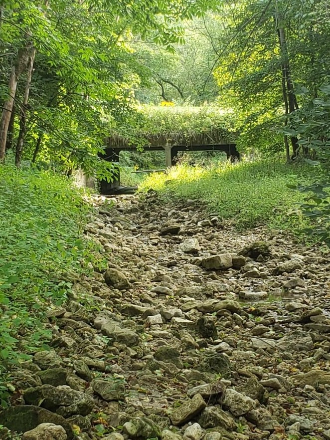
After turning right, you’ll be in a really fun part of the forest, you’ll see valleys, bluffs, dry creek beds, and big rock formations. This is an area where it seems there are a lot of rocks on the trail, both big and small, so take care. Eventually you’ll go up a little hill to your right. There is an overgrown path that goes straight, but again you stay on 'Larkin Valley Trail'. Now you’ll go across a pretty meadow where there will be lots of butterflies and flowers and you’re almost back! You’ll go down a rather steep and gravelly hill at the end, another place to be careful. Then you wind around to the right and back to your car.
Time to hike this trail is around 1 1/2 hours at a leisurely pace and it is 3.11 miles. And remember--you just stay on 'Bluff View' and 'Larkin Valley' trails.
NELSON BRIDGE LOOP (Loop 1: Nelson Bridge Loop, No Hill, ~1 Mile/20 minutes) (Loop 2: Nelson Bridge Loop plus Forester Trail, ~2.5 Miles/55 minutes)
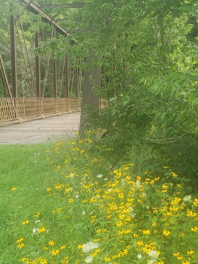
Whether we like it or not, the end of summer is near and though that may bum us out a little, there is a big benefit: All the beautiful FLOWERS! The trail we have chosen this month will hopefully give you a very colorful walk and we have included a hill or no-hill option! As always, we have the trail marked with signs and ribbons. This trail starts on White Pine Road. Nelson Bridge Loop Parking Lot is on the left when you are coming from State Forest Road. It is right across from the Slattery Road/White Pine Road junction (43.17947634778129, -91.26597915323957) and the trail is called Nelson Bridge Loop. You can do just the first half of this hike which is flat and full of wildflowers with lots of views of the creek. If you'd like to take a stroller, this first half is pretty stroller friendly-it will take some muscle to get through the grass but it's wide and pretty flat.
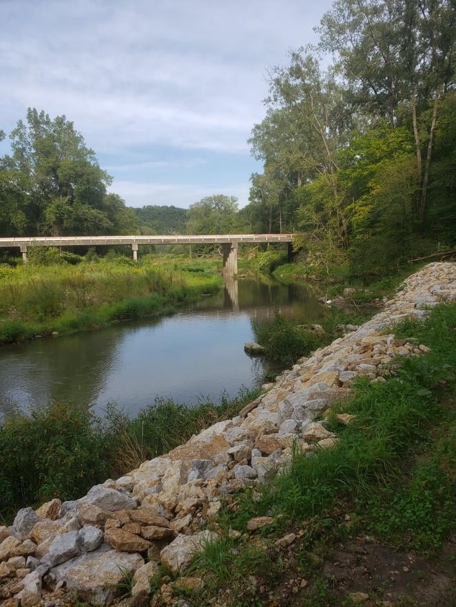
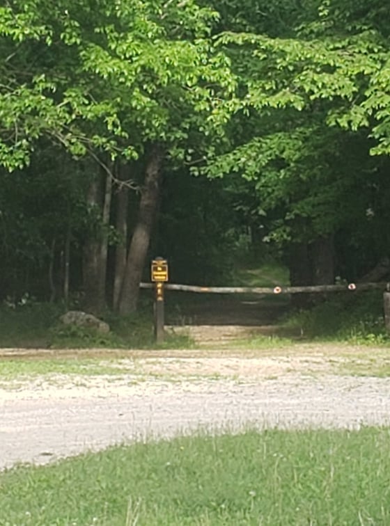
Loop 1: (No Hill, About 1 Mile/20 minutes) From the parking lot, you'll head parallel to the road and will come to the trail at a bridge, see the picture below. You can go either way as it's a loop, but for the way we're taking you, you will go straight, and not go over the bridge yet. The trail will take you parallel to the gravel road with the creek on your right. Lots of flowers to see on both sides of you. It won't take long and you'll be at the place where you will need to decide if you just want to take the pretty, flat part, or also have a hill. If you want to stay on the flat trail, just follow the loop. You'll turn right on the gravel road, walk on the road for a bit and then take the first right AFTER THE BRIDGE (there is a trail to the left and a trail to the right before the bridge, you will go past both of these). From there you just have to continue on the path until you come back to where you started.
Loop 2: (Plus Forester Trail, About 2.5 Miles/55 minutes total) If you'd like to have a hill also, cross the gravel road and go to the right for a bit. You will take the SECOND left (you will go past Paint Creek Trail and cross the bridge) at which time you'll see the trail start up again. You'll head down into the ditch to the left. You will sort of wind around on the bottom and go up a little hill and you'll be at State Forest Road. Cross State Forest Road-be careful, it's a rather busy highway! You'll see some steps right across the road, going up the bluff. You'll go up those few steps and follow the trail to your left; parallel to State Forest. This is called Forester Trail. There seemed to be a lot of what looked like nettles along here, so long pants may be a good idea.
You will then come to a little parking lot. This part of the hike has a hill but it's beautiful scenery up here also! You get to climb a very deep ravine that's pretty cool. You'll head onto Forester Trail and go straight up the hill in the back of the parking area. This will take you along the ravine where if you look up on either side, you'll see a tall bluff. The greens are pretty amazing as well as the rock formations you'll see above you. When you get to the top, you'll see a sign for Camp Glen Wendel Shortcut to the left. You'll go this way and then head to the left again at the "T." The loop you're going on up here will take you through this campground and past a pond. There are four campsites at this campground, as there are at all the backpacking sites. You may have to search to find them but they're there! After you get through the campground and past the pond, you'll see another sign that says White Pine Trail both directions. You'll take this to the right. You'll wind around a little and then come to a bench and you'll continue straight, following Forester. Next you'll come to a sign that points Forester to the left and you'll go that way to complete your loop. Finally you'll see a sign that will point Forester Trail to the left and that will take you back down the hill.
That's the end of that loop, so at the parking lot you'll go to your left again, parallel to the road, go down the steps and cross the road and go back the way you came to White Pine Road. When you have crossed the road, you go right for a tiny bit and then see the sign for Nelson Bridge Loop and you'll turn left and head onto the trail. This will be the other side of the creek-to complete your loop back to the bridge and the parking lot. Don't forget to stop and enjoy the bubbling of the water and the picturesque scene with all the pretty summertime wildflowers. It's a beautiful walk and the bridge at the far end is pretty cool also.
Remember: Long pants, bug spray, and water! Enjoy!
MUD HEN LOOP (1.75 mile loop, starting near Waukon Junction, takes approximately 50 minutes)
Did you know there’s a whole other area in the Yellow River State Forest trail system that you may not even know about? We’d like to take you on an adventure in a new and untamed area that has wonderful look outs of the river and amazing ravines, valleys, and bluffs. It’s the Mud Hen Trail that’s off of Great River Road, or X52, going south out of Harpers Ferry.
On X52, the parking lot for the trail is right across from Lund’s Camp. If you’re coming from Harpers, it’s on the right. There is a sign right before it that says “Harpers Slough Public Use Area” and a sign at the driveway that says “State Fishing Access'' and they both point to the other side of the road.
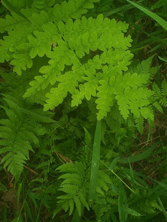
Be prepared! The hike starts with quite a hill, but take some time to look around at the valleys and ravines and you won’t even notice. You’ll go up for a while, trekking down and around. If it has rained recently, be careful as there are a couple places that could be slippery. Around this time of the summer, there are lots of ferns growing. If you know your ferns, you’ll see several different species, such as the Interrupted Fern, Lady Fern and Royal Fern. You will see a huge valley on your left as you ascend; notice how tall the bluff is on the other side.
You will eventually get to a place where Mud Hen Loop goes off sharply to the right. The other trail is the Mississippi Trail which we had you explore a different part of last year. You will have a slight climb again and the trail is definitely wider here. When you get to the part of the trail where the river is directly in front of you and the Mud Hen Trail goes to the left, you will see a path going off to the right (marked with “view” in spray paint). If you’re feeling adventurous, this path leads to a wonderful look out of the river. It’s not too far back there, and there’s some grasses and overgrowth at the look out but you can actually see the Marquette-Prairie bridge from there!
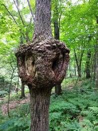
One thing you may notice at a lot of our lookouts are a scraggly looking tree that seems to grow right on the rocks. When you are continuing on the trail, you will follow the river for a while. You will eventually get to an area where it may be hard to tell where to go. Straight ahead is the correct way, it’s the trail, it’s just a little overgrown. To the right will be a prairie and we don’t know where that goes . There is a tree up ahead that has a yellow mark on it that is on the correct path. And we have ribbons around also for you to follow again.
You will eventually get to the end of the Mud Hen Loop, where you will go to the left to head back down the hill. The whole hike will take about 50 minutes at an easy walk; a little more if you go to the look out. It’s about 1.75 miles. Again, ferns are plentiful on this trail and as summer progresses, there will be more and more flowers. Enjoy!!

